Travelling tips: Driving on Jamaica's South Coast
Driving from Kingston to Negril in Jamaica is a scenic journey that takes you across the island. Here are some things you should know before you take that road trip along the south coast.
Distance and Travel Time:
The distance from Kingston to Negril is approximately 240 kilometers (150 miles). The journey typically takes around 4-5 hours by car, depending on traffic conditions and the route you take. Plan your departure time accordingly to reach your destination during daylight hours.
Driving Direction and Route:
The most common route from Kingston to Negril involves taking the A2 and A1 highways. Use GPS navigation or a reliable map to guide you. Pay attention to road signs, and if in doubt, ask locals for directions. It's advisable to plan your route in advance to avoid getting lost.
Fuel and Supplies:
Ensure your vehicle has enough fuel for the journey. While there are fuel stations along the route, it's a good idea to start with a full tank. Also, pack some water, snacks, and any other essentials you may need during the trip. Keep in mind that there might be limited services in more remote areas.
Cash on hand:
Ensure you have an adequate amount of Jamaican dollars in cash. Some toll booths and local shops along the way may not accept credit cards, so having cash on hand is essential. Additionally, it can be useful for small purchases, tipping, or transactions in more remote areas where electronic payments might not be common.
Rest stops:
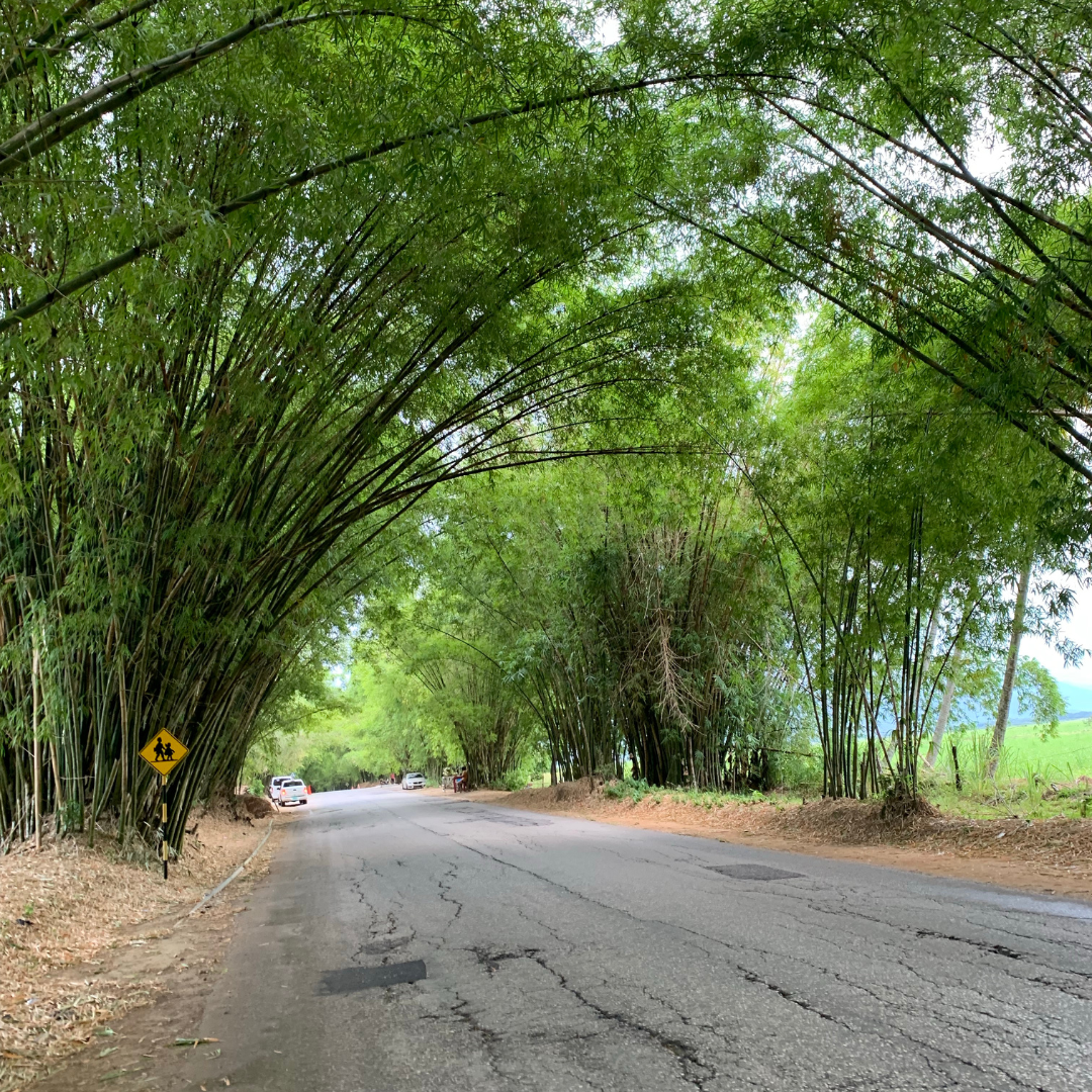
There are several noteworthy rest stops and popular places you may pass on your journey from Kingston to Negril. Some of these resstops include: Treasure Beach, Black river, Appleton rum tour, YS falls, Holland Bamboo and MIddle quarters.
Remember to stay relaxed, enjoy the journey, and take breaks if needed. The drive from Kingston to Negril offers beautiful scenery, and there are potential rest stops and attractions along the way. If you have any concerns or questions, don't hesitate to ask locals for assistance.

